About Our Fantastic Products:
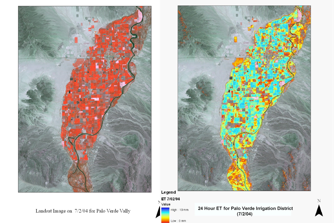
The AgroET remote sensing model implements a raster approach of the energy balance to estimate the Evapotranspiration for large areas taking into account the data from multiple weather stations. The model has the following capabilities:
- Process ET for a user defined Area of Interest (AOI);
- Automatically identify high and low ET pixels as a set of anchors points to estimate the ET for a region;
- Use user defined high and/or low ET anchor points rather than automatically generate them
- Automatically exclude areas covered by clouds
- Use user defined areas to exclude due to cloud cover
- If the user selects to use Landsat 7 images the model has the option to fill in the gaps due to the scan line error
- The user can specify a number of options such as: using a flat or variable DEM, specifying the maximum % cloud cover allowed in the AOI, and filling the gaps in Landsat 7 images due to the scan line error.

